


 8 / 24

NORWEGIAN CONTINENTAL SHELF DECOMMISSIONING INSIGHT
2016
page 8
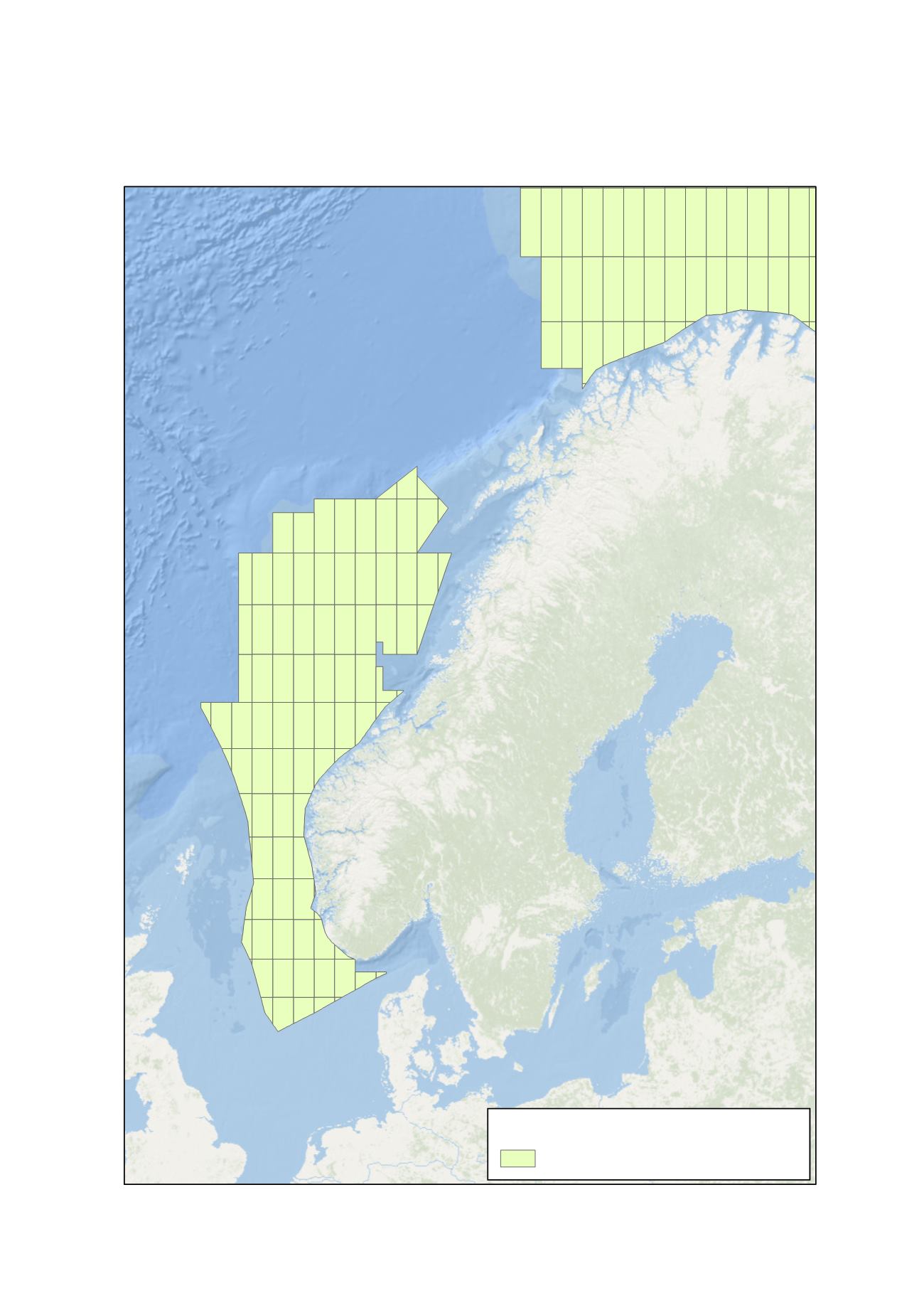
Figure 1: Regions of the Norwegian Continental Shelf
Esri, DeLorme, GEBCO, NOAA NGDC, and other contributors
B a r e n t s
S e a
N o r w e g i a n
S e a
N o r w e g i a n
N o r t h
S e a
¯
Service Layer Credits: Esri, GEBCO, NOAA, CHS, CSUMB, National Geographic, DeLorme and NAVTEQ
Shapefiles accessed from the Norwegian Petroleum Directorate, edited and displayed by Oil & Gas UK
Legend
Norwegian Waters (Open for Petroleum Activity)