


 9 / 74

9
1.1. Location, climate and relief of
Sierra Leone
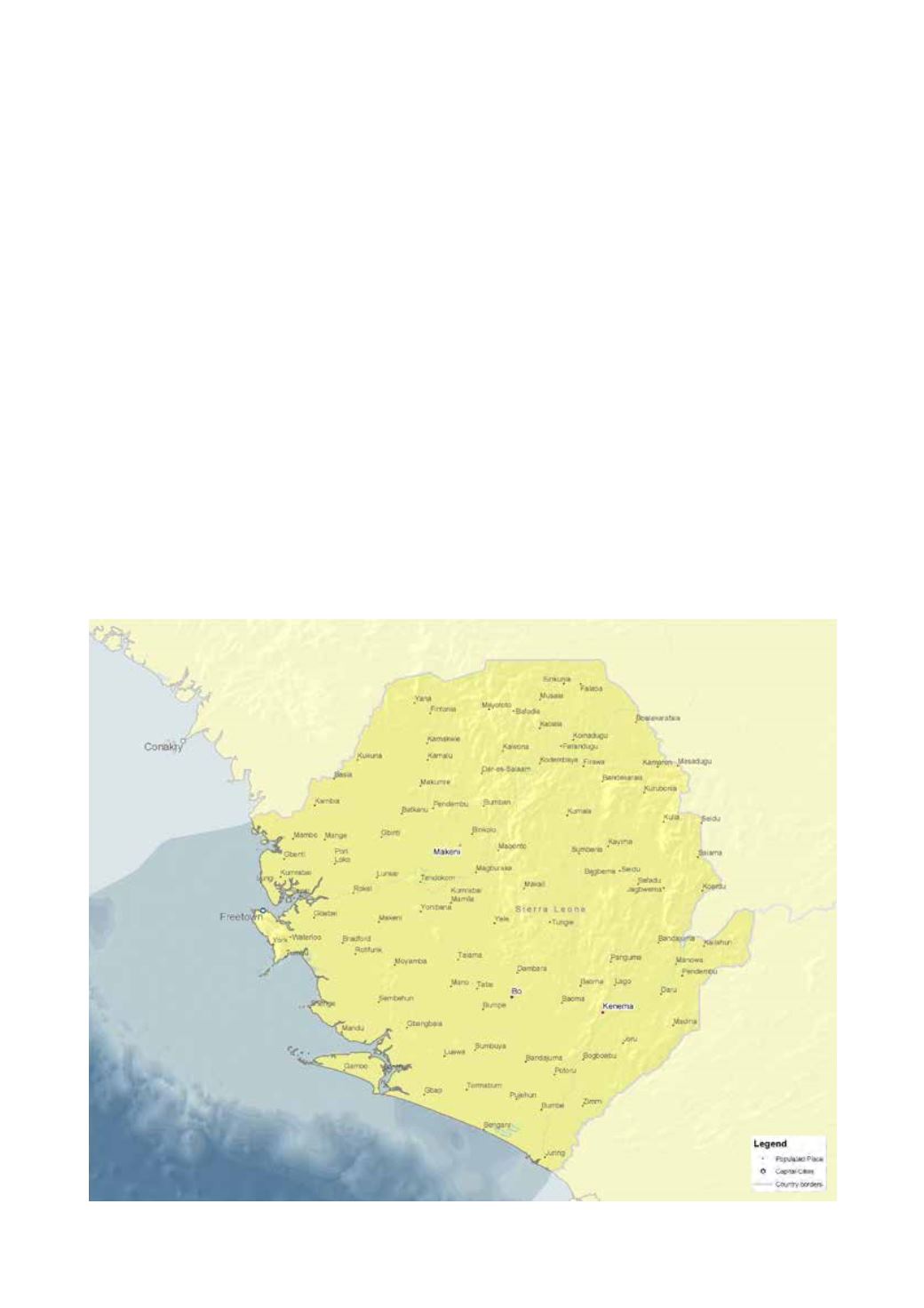
Sierra Leone is situated along the Atlantic west coast of
Africa, between latitudes 6°55’ and 10°00’ north, and
longitudes 10°14’ and 13°18’. It has a coastline of about 560
km stretching from 6°55’ north to 9° north. The coastal
zone covers an area of about 71,740 km
2
(Fig. 1.1).
The climate is tropical with two well-defined seasons of wet
and dry weather. The wet season generally lasts fromMay to
November with two periods of squally weather, in March-
April and May, and again in September to October. The
highest observed cloudiness from the area is 6–7 oktas and
is closely related to the influence of the equatorial monsoons
blowing fromJune toNovember.The cloud amount decreases
to 3–5 oktas during the months of December to April.
The highest amount of rainfall occurs during the rainy
season. The heaviest rains occur in July and August. The
Figure 1.1:
Map of Sierra Leone
(GRID-Arendal)
1. Introduction
mean monthly amount of rainfall reaches its maximum in
July and August, when the average number of rainy days is
27 out of 60 days in July and August.
The country is divided into the following main relief
regions: the coastline interior lowland plains, the interior
plateau and mountains. The shelf covers an area (to 200
meter depth) of 30,000 km
2
.
1.2. Demography
Sierra Leone’s population doubled from around 2.5 million
in 1970 to 5 million in 2004. It is estimated to have reached
6.4 million by 2012, and projected to grow moderately to
6.5 million by 2018. The growth rate peaked at 2.3% per
year in 1985, but had declined to 1.8% in 2004.
Up to 55% of Sierra Leone’s population inhabits the coastal
zone and makes substantial use of the coastal resources. As
the coastal population continues to grow, these resources