


 12 / 110

12
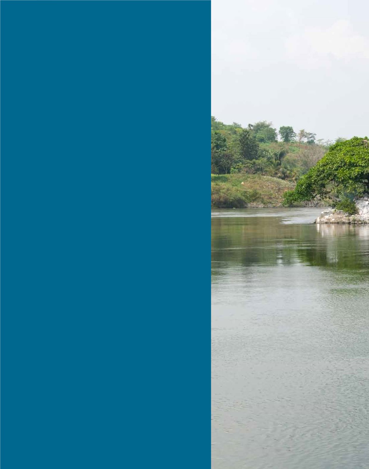
Draining an area of 194,200 km
2
(Lake Victoria Basin
Commission 2007a), Lake Victoria Basin is one of
East Africa’s most prominent landmarks. It not only
provides the headwaters of the White Nile but is also
central to the development and regional integration
of the East Africa Community. The Lake itself is shallow
but in terms of surface area it is the second largest
freshwater lake in the world, after Lake Superior
in North America (Lake Victoria Basin Commission
2007a). Lake Victoria covers 68,800 km
2
(Lake Victoria
Basin Commission 2007b; World Agroforestry Centre
2006), with a 3,460 km shoreline and is bordered
by Kenya, Tanzania and Uganda; with Burundi and
Rwanda also lying within the Lake Victoria Basin
(Lake Victoria Basin Commission 2007a). A number
of important rivers flow into Lake Victoria including
the River Mara, Kagera, Yala, Nyando, Bukora and
Katonga. TheWhite Nile is the only river flowing out
of the Lake (Lake Victoria Basin Commission 2007a).
The Kagera (Akagera) River, which drains themountains
of Burundi and Rwanda and is the furthest and most
remote headstream of the Nile River, is considered
as the source of the Nile (Africa Facts 2016).
Supporting a population of 40million (World Bank 2016),
the Lake Basin provides a variety of economic and
development opportunities, including fisheries, tourism
and transboundary conservation. However, these
opportunities are hindered by a number of threats that
include eutrophication, over-fishing, introduced
exotic species and the impacts of climate change.
LAKEVICTORIABASIN
1