


 11 / 84

LatestNews
BMW Group relying on innovation capabilities of German
production locations for electro-mobility expansion
BMW Group Plant Dingolfing to produce BMW iNEXT from
2021+++ Plants will be able to build vehicles with combustion
engine, plug-in hybrid or fully electric drive train in parallel+++
Munich/Dingolfing. The BMW Group today announced its plans
to expand electro-mobility. At a meeting with Bavarian State
Minister of Economic Affairs, Ilse Aigner, Oliver Zipse, member
of the Board of Management of the BMW Group, responsible for
Production said: “The BMW Group is a pioneer and an innovator
in electro-mobility. We will begin producing the fully electric
BMW iNEXT here at our Dingolfing plant in 2021. This decision
The
terrestrial
vehicle,
which is manned, also has
a real-time navigation system. A
positioning system in the vehicle
constantly calculates its route while
at the same time generating a series
of reference points for the drone by
converting terrestrial navigation data
(time, position, speed and attitude
parameters) into aerial commands
(altitude and route). This mechanism
creates a ‘virtual cord’ that causes the
drone to constantly follow the vehicle
and operate at the same scale.
The tandem concept goes beyond just
having the drone tail the vehicle. The
real value of the virtual cord derives from two features. The first
is an optical target developed by EPFL’s Geodetic Engineering
Laboratory (TOPO). The target is a fractal design attached to
the vehicle’s roof that allows the drone to optically calculate
its distance from the vehicle in real-time (and more accurately
during post-processing). This means the drone knows its relative
location at all times without using satellite navigation instruments
and can conduct data fusion without relying on terrestrial targets.
“Through this tandem approach, MapKite also complies with
European regulations, since the drone can land autonomously on
the vehicle if anything goes wrong or if its batteries need to be
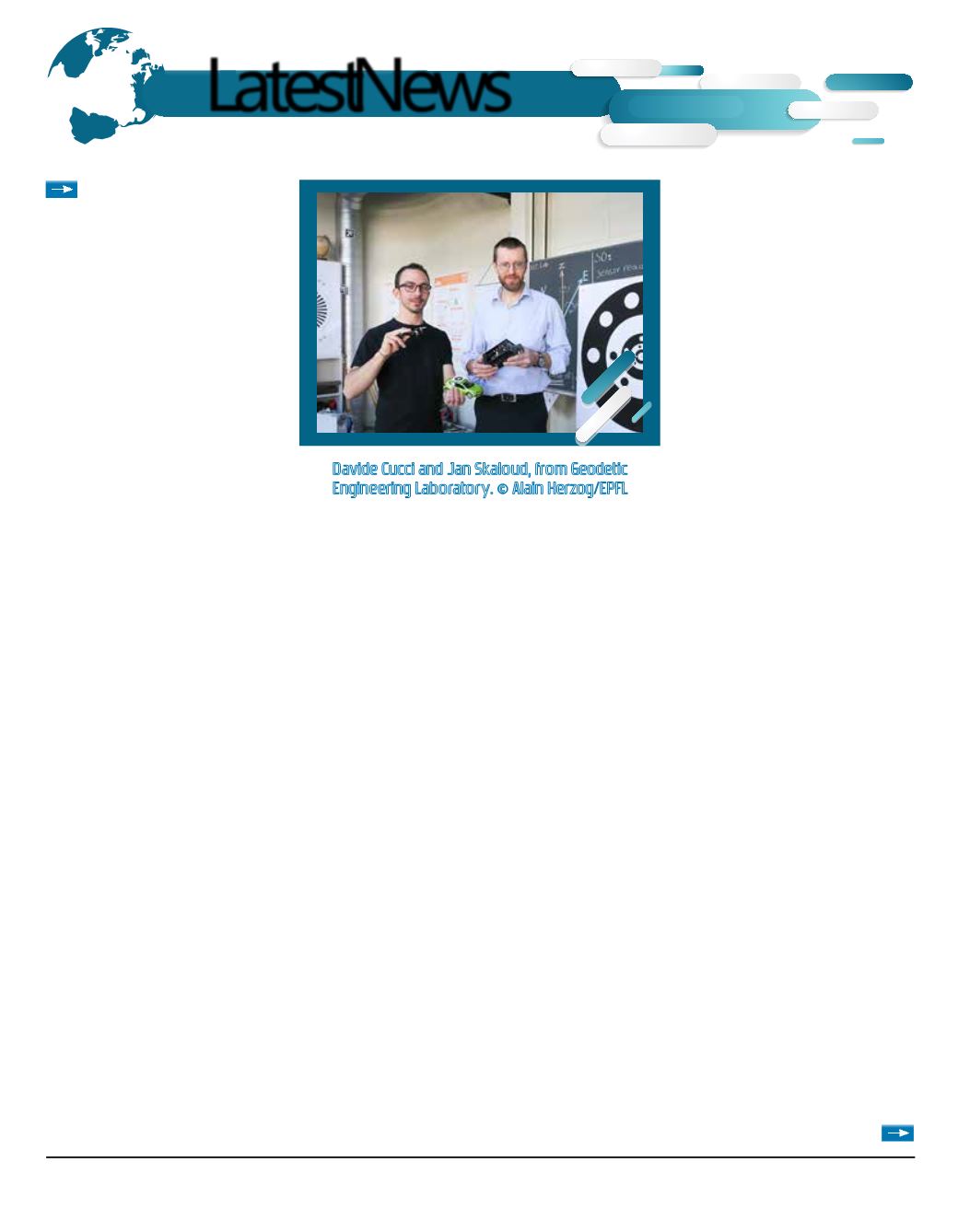
changed,” said Jan Skaloud, a senior scientist at TOPO.
Galileo, the European global navigation system
The second key feature of the virtual cord is the use of signals
will further strengthen our German production locations, which,
with their innovation capabilities, play a leading role all across
our production network. In the area of electro-mobility, in
particular, our aim is to ensure end-to-end systems expertise
within the company.”
BMW Group plants worldwide will benefit from the German
sites’ production expertise and technology knowhow. At nine
locations around the globe, the company already produces
nine electrified models, including eight plug-in hybrids. The all-
electric BMW i3, which is manufactured at BMW Group
from the European global navigation
system Galileo – a first at this level
of research. Galileo, which went live
in December 2016, provides higher
quality signals than the American GPS
system and offers unique features
that reduce errors in calculating
terrestrial positions.
In mid-March, the tandem was
tested at the BCN Drone Center,
near Barcelona. The results were
spectacular: the system generated
3D maps with a resolution of one
centimeter, which is much more
precise than systems like Google
Street View. “With a target that’s only
90 centimeters across, the images taken by the drone at a height
of 100 meters provides the error in drone-to-target distance of
less than 1%, while at a height of 50 meters the error is less than
0.25%,” said Davide Cucci, a post-doc at TOPO.
Potential applications for this technology are numerous –
especially in map-making, as this instrument can be used to
create 3D models of long corridors. It could also be effective in
inspecting and monitoring buildings and other structures in cities.
Future developments are sure to emerge as well.
*MapKITE is a consortium of ten partners from six European
countries and Brazil: GeoNumerics, TopScan, GRID-IT, ALTAIS,
DEIMOS Engenharia, UAVision, CATUAV, EPFL, Engemap
Engenharia and UNESP. EPFL is the only academic partner. The
technology is patented.
Davide Cucci and Jan Skaloud, from Geodetic
Engineering Laboratory. © Alain Herzog/EPFL
New-Tech Magazine Europe l 11