


 6 / 105

2
EXECUTIVE SUMMARY
In 2007, the Town of Morrisville had tripled in population since its existing Land Use Plan was
prepared and was rapidly growing toward its full build-out potential. About a quarter of
the area inside the Town’s planning jurisdiction remained undeveloped, and there was no
opportunity for outward expansion due to the shared boundaries with the Town of Cary
and other jurisdictions (Research Triangle Park, Raleigh-Durham International Airport, and
Umstead State Park). In response to this challenge, from 2007 through 2009, the Town of
Morrisville completed major updates of both the existing Land Use Plan (1999) and Trans-
portation Plan (2002) for the Town.
The two Plans were developed simultaneously because current land use, and anticipated
future land use, are inextricably tied to how the transportation system connects the land
and people of Morrisville together. Similarly, the way in which the transportation system
develops significantly influences land development practices, property values, and how
convenient it is to travel from one place to another using different modes of travel (car,
bus, rail, walking, or bicycling). This Executive Summary describes how the Plans were de-
veloped, the key recommendations, and where in the document to access additional
information. Section Two (Background), Section Four (Policy Direction) and Section Seven
(Action Items) are identical in both plans.
Developing the Plans
Extensive communication with the general public was a focal point through-
out the planning process, both to provide basic inputs into the content and
recommendations of the Plans, but also to provide opportunities for people to
comprehend the meaning of the Plans and provide feedback on the recom-
mendations. An extensive plans update website, three public workshops, seven
Plan Advisory Committee (PAC) meetings, three focus group meetings, a paper
and internet survey, and a phone hotline were important parts of the planning
process. Every single comment submitted could not be included in the final
Plans, but many of the common themes of the comments and how they were
addressed by the Plans are included in Appendix C.
Town staff worked with a team of consultants, who were charged with the dif-
ficult task of balancing various interests and comments by the public and PAC
members, then translating that information into a specific set of action items to
effect change (Section Seven). The action items were developed in order to
implement the vision, goals and policies of the Plans, which were derived from
the Town Council, public comments, Plan Advisory Committee, and the 1999
Land Use Plan (Section Four).
The Land Use Plan
The
2009 Land Use Plan
seeks to capitalize on the opportunities in Morrisville (strong popu-
lation growth and interest in residential development, an advantageous location in the
heart of the Triangle) while maintaining the Town’s historic roots and “small town feel.”
Morrisville has experienced rapid development recently, with most major tracts of land
available for residential development having been built for subdivisions (Section Three). A
key to the Plan is the balance of the desire for low density residential development (single
family detached houses) with the need for overall economic growth as well as nearby
shopping and work opportunities for the Town’s residents. This balance is addressed in
the Plan by recommending activity centers with a mix of commercial, office and (in some
cases) higher density residential uses where there is greater access to transportation infra-
structure (such as major intersections), and allowing much of the remainder of the Town
to be developed for low density residential uses or master-planned to take advantage of
large undeveloped areas and the Town Center (Section Five). Designating land uses in
Morrisville is complicated by the RDU Airport Noise Overlay District, which covers 22% of
the town’s planning jurisdiction including about 40% of the developable area, and restricts
residential and other noise-sensitive uses.
The Plan integrates transportation by linking land uses with appropriate
transportation facilities that offer opportunities for walking, biking or driv-
ing. The Plan also seeks to provide an opportunity for new lifestyle and
development options by establishing a Transit Oriented Development
floating district, which can be applied voluntarily by a property owner
to take advantage of planned bus and rail routes through Morrisville.
Section Six examines in more detail different Community Areas of Mor-
risville and illustrates some of the land use and transportation recom-
mendations.
To complement the recommended future land uses, examples of good
design are provided for each land use type. Specific action items in-
clude the development of various ordinances to strengthen the envi-
ronmental and quality of life elements of the Town, such as reducing
stormwater runoff, encouraging higher-quality, sit-down style restau-
rants, and continue and expand upon past efforts to preserve the his-
toric character of important places like the Shiloh Community.
The Transportation Plan
Morrisville’s geographic position in the Triangle Region – surrounded by
people who would like to get from their homes to major attractions like
the employment centers of Research Triangle Park, Raleigh-Durham
International Airport, and the cities of Durham and Raleigh – create a situation in Morris-
ville that demands consideration of high volumes of “through” traffic that seldom stops in
Morrisville. This kind of traffic presents interesting technical issues for providing adequate
vehicle capacity while maintaining the aforementioned small-town atmosphere. Simply
widening roadways with no end in sight could temporarily alleviate traffic congestion, but
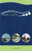
A participant presents her small group’s ideas at
the first public workshop, on October 29, 2007.
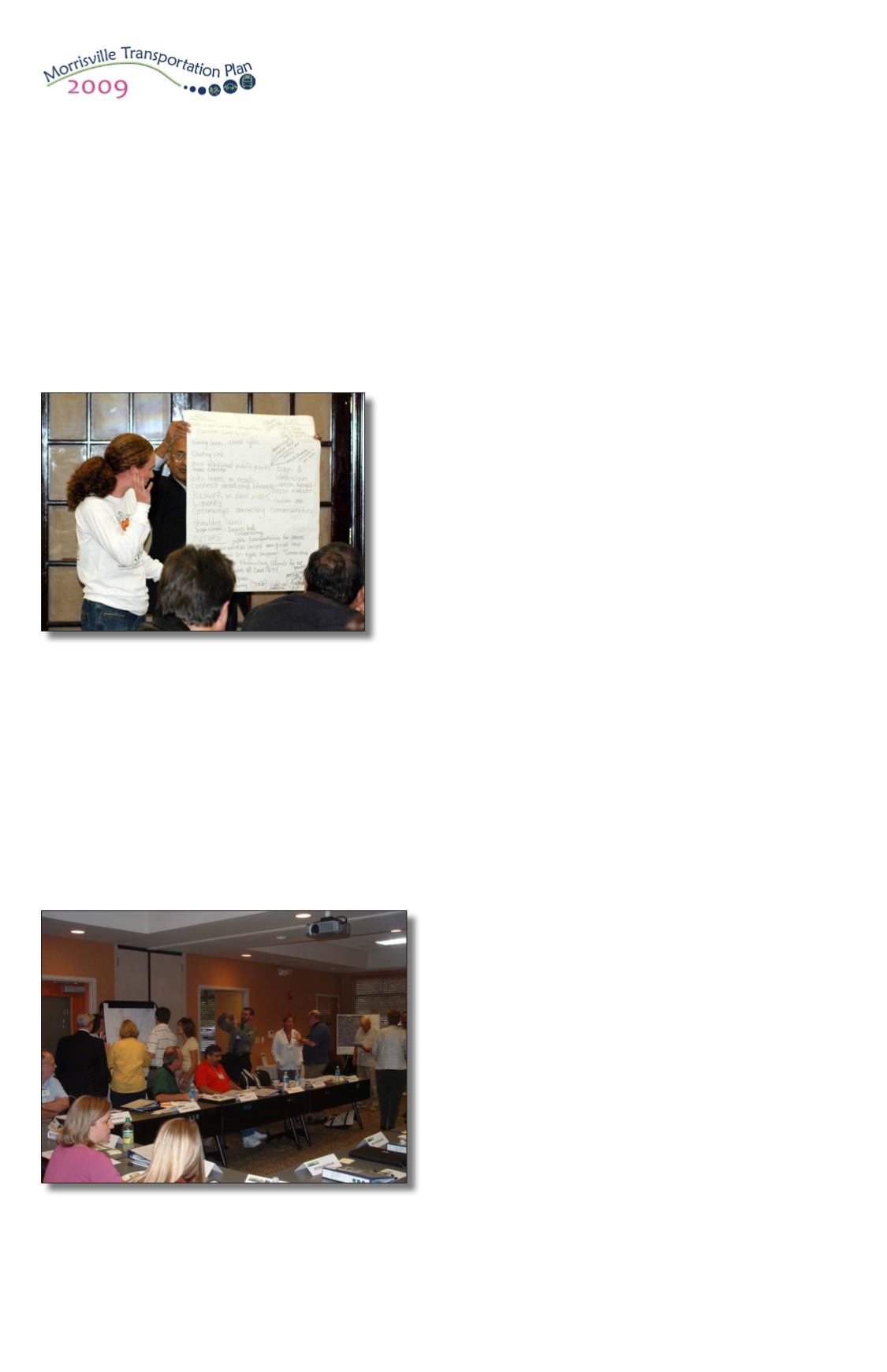
Members of the Plan Advisory Committee discuss
what they like and would like to change about
Morrisville at the October 16, 2007 meeting.